

When Hurricane Melissa slammed into Jamaica, it left behind more than devastation. The storm sparked a technological response unlike anything the nation had seen before. Leveraging advanced geospatial technology, Jamaica transformed crisis into action, turning satellite data into a blueprint for recovery.
In the immediate aftermath of the Category-5 storm, high-resolution satellite imagery and ICEYE radar scans assessed over 960,000 buildings nationwide. The findings were sobering.
According to the National Spatial Data Management Branch (NSDMB) of the Ministry of Economic Growth and Infrastructure Development, nearly 20% of buildings, approximately 191,000 structures, sustained damage. Of those, about 146,000 buildings (15%) suffered major to severe structural impacts, including total collapse or extensive roof and wall failures.
This nationwide assessment was conducted with an 88% confidence level, underscoring its reliability.
As Alicia Edwards, Principal Director of the NSDMB, explained, the data revealed a clear geographic pattern:
“Damage was heaviest along the hurricane’s path in western Jamaica. St. Elizabeth, Westmoreland, St. James, and Hanover recorded the highest concentrations of damaged buildings, aligning with where Melissa made landfall and caused the most intense winds.”
In some hard-hit western communities, over 40% of buildings were damaged or destroyed, a stark reminder of the storm’s localised power. Meanwhile, central and eastern regions experienced far less damage, illustrating Melissa’s uneven but devastating footprint.
From Imagery to Immediate Action
What sets Jamaica’s response apart is how quickly this data was put to use. Geospatial intelligence is now driving decision-making on the ground.
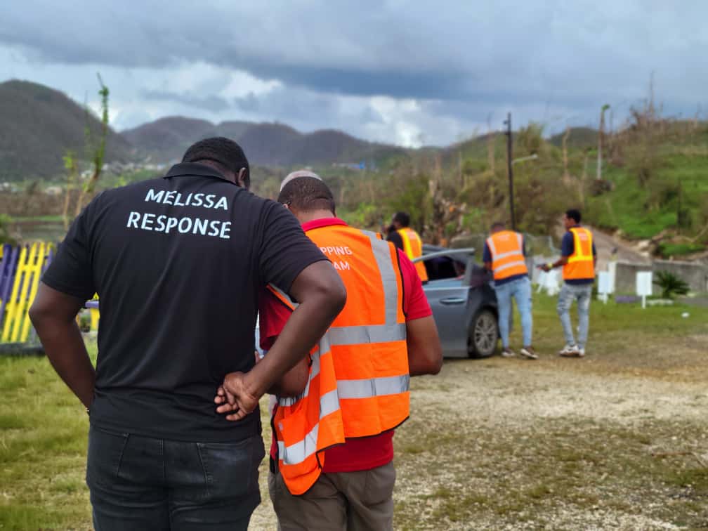
Agencies such as the Office of Disaster Preparedness and Emergency Management (ODPEM) and the NSDMB are using GIS damage maps to determine everything, from where relief supplies should be sent to which repair teams go where.
According to Ms. Edwards, “the high-detail damage maps are being shared across government ministries, providing a common operational picture. Field teams, including units from the Jamaica Defence Force, are using the maps to verify conditions in each community and fast-track the distribution of repairs.”
The result is unprecedented coordination. Teams in the field are not guessing, they are guided by real-time spatial intelligence.
Informing Long-Term Recovery
Beyond emergency response, the data is now shaping Jamaica’s Post-Disaster Needs Assessment. The GIS findings are being integrated into national recovery strategies through the Planning Institute of Jamaica (PIOJ) and helping to design a resilient housing recovery programme.
“The satellite and GIS damage data are central to the recovery process,” Ms. Edwards emphasised. “They allow agencies to act quickly, transparently, and confidently in the aftermath of Melissa.”
Next Steps: Mapping, Validating, Rebuilding
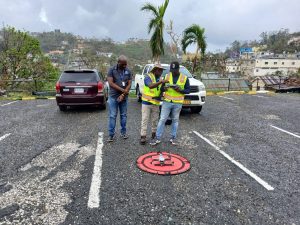
The work is ongoing. The NSDMB, along with partners in the National Emergency Response Geographic Information Systems Team (NERGIST), continue to refine the data using satellite imagery, drone flyovers, and field reports.
This next phase focuses on:
- Validating initial findings
- Filling data gaps in previously inaccessible communities
- Identifying exactly which structures need repair or rebuilding
- Layering maps with roads, utilities, and hazard zones to guide reconstruction
This approach does more than document destruction. It shapes a safer future.
Data as Jamaica’s Blueprint for Resilience
As the nation moves from response to reconstruction, all collected geospatial data will be integrated into Jamaica’s national spatial data infrastructure, informing planners, policymakers, and future disaster strategies.
Ms. Edwards underscores the significance.
“This first-of-its-kind national satellite-based damage assessment has provided valuable lessons. By institutionalising rapid mapping, Jamaica will be even better prepared with up-to-date maps and data when the next disaster strikes.”
The message is clear. Data is not just information. It is preparedness. It is coordination. It is resilience.
When the next storm comes, Jamaica will be prepared to meet it – faster, smarter, and stronger.
 =
=