

The Government of Jamaica has formalised a landmark multi-agency geospatial data governance framework, through the signing of a Memorandum of Understanding (MOU) and accompanying data-sharing agreements, to support the use of the GeoConnect platform.
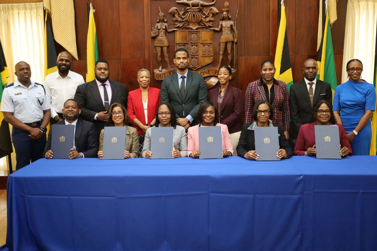
The agreements were signed today (June 2, 2026) at the Office of the Prime Minister with a total of nine (9) entities being signatories: the Office of the Prime Minister; Ministry of Labour and Social Security; Ministry of Local Government and Community Development; Ministry of Tourism; Ministry of Industry, Investment and Commerce; the Ministry of Economic Growth and Infrastructure Development, the Office of Disaster Preparedness and Emergency Management, Jamaica Defence Force, and the National Housing Trust.
GeoConnect is a single, secure and scalable platform that allows participating ministries and agencies to share, cross-reference and verify damage assessment data in real time.
Developed and administered by the National Spatial Data Management Branch within the Ministry of Economic Growth and Infrastructure Development, the platform is designed to improve coordination among Government entities, enhance transparency and support the efficient allocation of public resources.
Speaking at the signing ceremony, Permanent Secretary in the Ministry of Economic Growth and Infrastructure Development, Mrs. Arlene Williams, noted that the initiative emerged from lessons learned following one of the country’s most challenging periods during Hurricane Melissa.
She explained that GeoConnect will strengthen transparency and support more effective decision-making by enabling participating entities to verify beneficiary information across multiple systems.
“This platform enables participating agencies to match beneficiary records across platforms using the taxpayer registration number, location and assessment data. This platform flags overlapping submissions, detects duplication of benefits and supports the transparent allocation of public resources,” she stated.
The Permanent Secretary noted that the signing of the MOU, together with the Data Sharing Agreement and Data Processing Agreement, establishes the governance structure required to ensure the secure and responsible management of information shared through the platform.
“By signing this Memorandum of Understanding today, together with the accompanying data sharing and data processing agreements, we’re establishing the governance framework that ensures that this platform operates under the full authority of the Data Protection Act, with clear rules, accountability, and safeguards,” Mrs. Williams said.
She further assured beneficiaries that their personal information would be managed in accordance with the provisions of the Data Protection Act and the highest standards of confidentiality.
Mrs. Williams described the initiative as a landmark achievement in Government data management and inter-agency collaboration.
“This is the first time the Government of Jamaica has executed a multi-agency geospatial data governance arrangement of this kind, and it positions us not only for the 2026 hurricane season, but also for any future national programme that requires coordinated verification across government,” she stated.
The GeoConnect platform is expected to strengthen disaster response and recovery efforts by enabling participating entities to access verified information in real time, coordinate benefits to maximise the impact, improve accountability and support more effective service delivery to Jamaicans.
 =
=