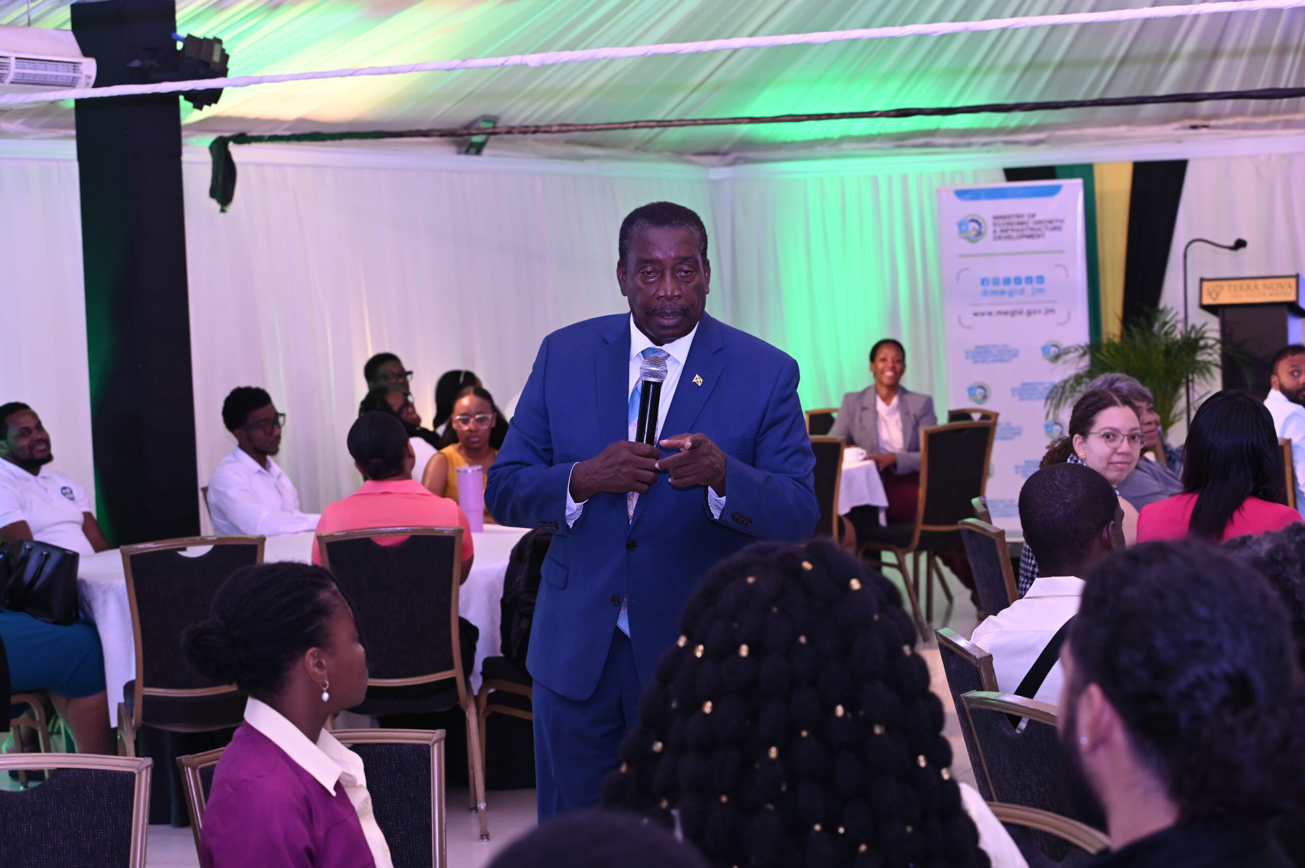
Minister without Portfolio in the Ministry of Economic Growth and Infrastructure Development, with Responsibility for Land Titling and Settlements, Hon. Robert Montague, is urging Geographic Information Systems (GIS) stakeholders to strengthen collaboration and share resources to ensure that the technology delivers greater benefits to ordinary Jamaicans.
He made the call while addressing the GIS Spatial Solutions Summit 2026, held on Thursday, November 12, at the Terra Nova All Suite Hotel in Kingston.
Minister Montague challenged participants to move beyond showcasing the technological capabilities of their respective organisations and focus on sharing information and expertise to improve public services and strengthen national resilience.
“The challenge this morning is how we are going to work together for the benefit of ordinary Jamaicans…. We need to make the technology and the knowledge we have more relevant to the ordinary Jamaican,” he said.
Noting the significant investment already made by the Government in GIS infrastructure and systems, the Minister urged stakeholders to maximise these resources and communicate their applications in simple, accessible language.
He highlighted the potential of integrating GIS with Jamaica’s developing civic addressing system to improve emergency response, explaining that more precise location information could help responders identify not only where assistance is needed, but also nearby landmarks.
The summit formed part of the Ministry’s observance of Geography Awareness Month (GAM) 2026, under the theme “GIS in Disaster Risk Reduction and Resilience Planning”. It brought together representatives of government agencies, the private sector, academia and the geospatial community to explore the use of spatial data in disaster preparedness, response and recovery.
Geography Awareness Month 2026 was officially launched on October 30 at the ROK Hotel in Kingston, with activities highlighting the application of GIS in disaster risk reduction, preparedness and national development.
The month-long observance will culminate in GIS Day 2026 on Wednesday, November 18, at the Montego Bay Convention Centre in St. James.
Organised by the Ministry’s National Spatial Data Management Branch (NSDMB), the event will feature presentations, interactive demonstrations and activities designed to expose participants, particularly young people, to the applications of GIS in disaster preparedness, infrastructure planning and community resilience.